Elsick House
Introduction
The photograph on this page of Elsick House by Anne Burgess as part of the Geograph project.
The Geograph project started in 2005 with the aim of publishing, organising and preserving representative images for every square kilometre of Great Britain, Ireland and the Isle of Man.

There are currently over 7.5m images from over 14,400 individuals and you can help contribute to the project by visiting https://www.geograph.org.uk
Elsick House
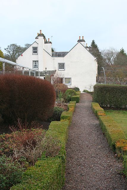
Image: © Anne Burgess Taken: 1 Jan 2019
This is the west elevation, with the perimeter path of the walled garden in the foreground. On the left is the framework that in summer supports a marquee used for weddings.
Images are licensed for reuse under creativecommons.org/licenses/by-sa/2.0
Image Location
Latitude
57.04352
Longitude
-2.18143