Looking towards houses in Ash Grove from Nouale Lane
Introduction
The photograph on this page of Looking towards houses in Ash Grove from Nouale Lane by Peter Facey as part of the Geograph project.
The Geograph project started in 2005 with the aim of publishing, organising and preserving representative images for every square kilometre of Great Britain, Ireland and the Isle of Man.

There are currently over 7.5m images from over 14,400 individuals and you can help contribute to the project by visiting https://www.geograph.org.uk
Looking towards houses in Ash Grove from Nouale Lane
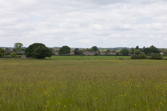
Image: © Peter Facey Taken: 24 May 2017
Ash Grove at the time constituted the eastern edge of Ringwood's built-up area. I had a feeling that sooner or later houses would be built on these fields, but so far they remain untouched.
Images are licensed for reuse under creativecommons.org/licenses/by-sa/2.0
Image Location
Latitude
50.844289
Longitude
-1.766162