Field west of Nouale Lane
Introduction
The photograph on this page of Field west of Nouale Lane by Peter Facey as part of the Geograph project.
The Geograph project started in 2005 with the aim of publishing, organising and preserving representative images for every square kilometre of Great Britain, Ireland and the Isle of Man.

There are currently over 7.5m images from over 14,400 individuals and you can help contribute to the project by visiting https://www.geograph.org.uk
Field west of Nouale Lane
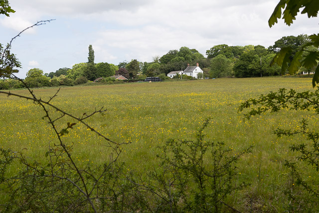
Image: © Peter Facey Taken: 24 May 2017
The white house is named Lynes Farm House and is on the eastern side of Nouale Lane whilst the brick bungalow on the western side is named Lynes Corner.
Images are licensed for reuse under creativecommons.org/licenses/by-sa/2.0
Image Location
Latitude
50.843835
Longitude
-1.763608