Cilcain Road, Cilcain and a rivet bench mark
Introduction
The photograph on this page of Cilcain Road, Cilcain and a rivet bench mark by John S Turner as part of the Geograph project.
The Geograph project started in 2005 with the aim of publishing, organising and preserving representative images for every square kilometre of Great Britain, Ireland and the Isle of Man.

There are currently over 7.5m images from over 14,400 individuals and you can help contribute to the project by visiting https://www.geograph.org.uk
Cilcain Road, Cilcain and a rivet bench mark
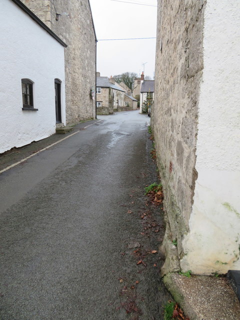
Image: © John S Turner Taken: 28 Dec 2018
Looking along Cilcain Road towards the cross roads in the centre of the village. the wall on the right is #2 Ffordd-y-Llan and there is an Ordnance Survey rivet bench mark on the small stone ledge at the base of the wall - Image
Images are licensed for reuse under creativecommons.org/licenses/by-sa/2.0
Image Location
Latitude
53.17743
Longitude
-3.232389