Hard standing area
Introduction
The photograph on this page of Hard standing area by Stephen Craven as part of the Geograph project.
The Geograph project started in 2005 with the aim of publishing, organising and preserving representative images for every square kilometre of Great Britain, Ireland and the Isle of Man.

There are currently over 7.5m images from over 14,400 individuals and you can help contribute to the project by visiting https://www.geograph.org.uk
Hard standing area
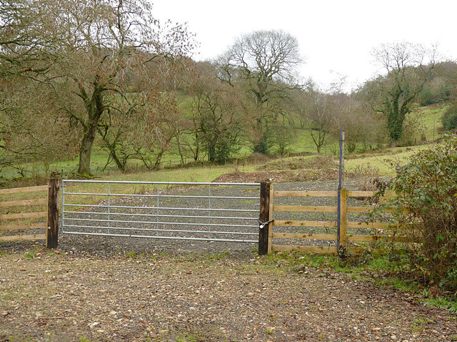
Image: © Stephen Craven Taken: 28 Dec 2018
This is accessed from what used to be the railway line but is now an "access only" private track. Its purpose, other than for a bit of parking, is unclear.
Images are licensed for reuse under creativecommons.org/licenses/by-sa/2.0
Image Location
Latitude
53.143594
Longitude
-2.088015