Thomas Lane Junction
Introduction
The photograph on this page of Thomas Lane Junction by Sue Adair as part of the Geograph project.
The Geograph project started in 2005 with the aim of publishing, organising and preserving representative images for every square kilometre of Great Britain, Ireland and the Isle of Man.

There are currently over 7.5m images from over 14,400 individuals and you can help contribute to the project by visiting https://www.geograph.org.uk
Thomas Lane Junction
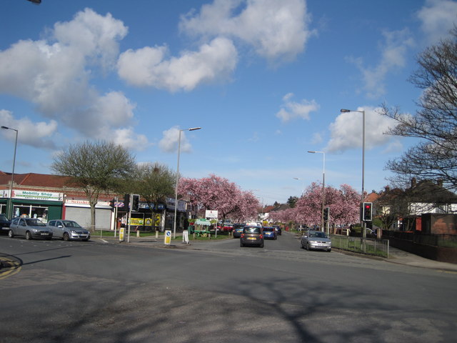
Image: © Sue Adair Taken: 7 Apr 2010
Shops and traffic lights at the original junction of Thomas Lane and Thingwall Hall Drive prior to the development of Summerhill Park.
Images are licensed for reuse under creativecommons.org/licenses/by-sa/2.0
Image Location
Latitude
53.410851
Longitude
-2.892507