Mains Lane
Introduction
The photograph on this page of Mains Lane by Derek Harper as part of the Geograph project.
The Geograph project started in 2005 with the aim of publishing, organising and preserving representative images for every square kilometre of Great Britain, Ireland and the Isle of Man.

There are currently over 7.5m images from over 14,400 individuals and you can help contribute to the project by visiting https://www.geograph.org.uk
Mains Lane
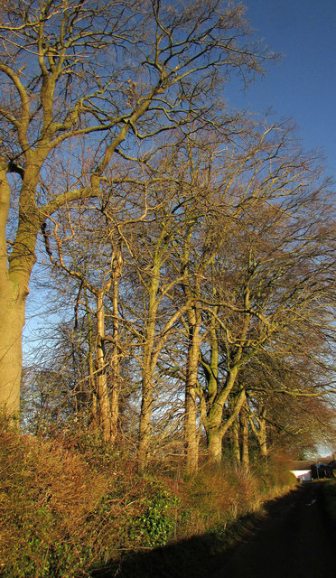
Image: © Derek Harper Taken: 24 Dec 2018
A fine row of trees along the northern side of the route with public access. In the distance is the T-junction with the Knaresborough Road.
Images are licensed for reuse under creativecommons.org/licenses/by-sa/2.0
Image Location
Latitude
54.089869
Longitude
-1.502487