Carlindean Strip
Introduction
The photograph on this page of Carlindean Strip by Anne Burgess as part of the Geograph project.
The Geograph project started in 2005 with the aim of publishing, organising and preserving representative images for every square kilometre of Great Britain, Ireland and the Isle of Man.

There are currently over 7.5m images from over 14,400 individuals and you can help contribute to the project by visiting https://www.geograph.org.uk
Carlindean Strip
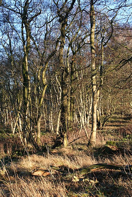
Image: © Anne Burgess Taken: 24 Dec 2018
The strip is a mature shelter belt between the A71 and fields belonging to Carlindean Farm.
Images are licensed for reuse under creativecommons.org/licenses/by-sa/2.0
Image Location


Leaflet Map data © OpenStreetMap
Latitude
55.70677
Longitude
-3.609985