Ramsholt: bridle ways and The Old School House
Introduction
The photograph on this page of Ramsholt: bridle ways and The Old School House by John Sutton as part of the Geograph project.
The Geograph project started in 2005 with the aim of publishing, organising and preserving representative images for every square kilometre of Great Britain, Ireland and the Isle of Man.

There are currently over 7.5m images from over 14,400 individuals and you can help contribute to the project by visiting https://www.geograph.org.uk
Ramsholt: bridle ways and The Old School House
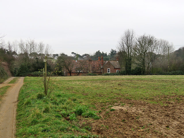
Image: © John Sutton Taken: 26 Dec 2018
The school's heyday was before the Great War - it closed in 1927. The village has dwindled further since then.
Images are licensed for reuse under creativecommons.org/licenses/by-sa/2.0
Image Location
Latitude
52.026683
Longitude
1.368161