Direction and distances sign, Maindy Crescent, Ton Pentre
Introduction
The photograph on this page of Direction and distances sign, Maindy Crescent, Ton Pentre by Jaggery as part of the Geograph project.
The Geograph project started in 2005 with the aim of publishing, organising and preserving representative images for every square kilometre of Great Britain, Ireland and the Isle of Man.

There are currently over 7.5m images from over 14,400 individuals and you can help contribute to the project by visiting https://www.geograph.org.uk
Direction and distances sign, Maindy Crescent, Ton Pentre
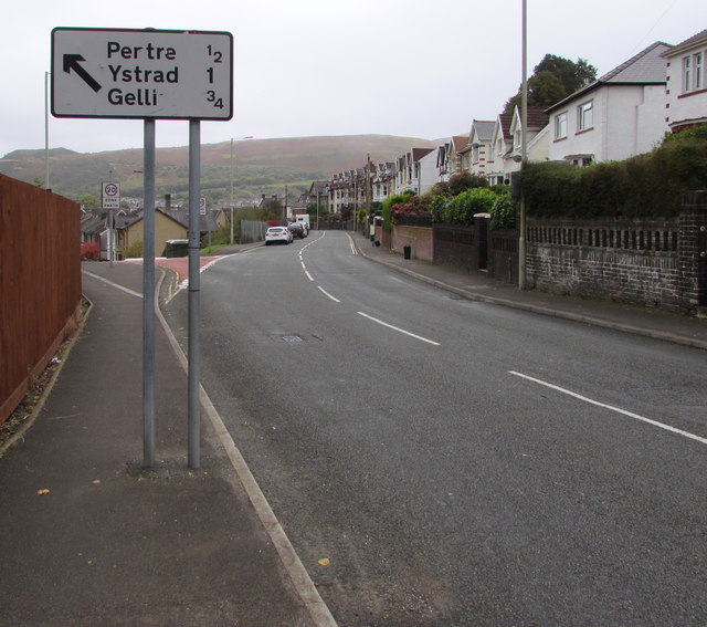
Image: © Jaggery Taken: 8 Oct 2018
Alongside the B4223 Maindy Crescent half a mile from Pentre, three-quarters of a mile from Gelli and a mile from Ystrad (Rhondda), the sign points towards the Bailey Street junction https://www.geograph.org.uk/photo/6008710
Images are licensed for reuse under creativecommons.org/licenses/by-sa/2.0
Image Location
Latitude
51.64996
Longitude
-3.493052