Approach to Knockbain Farm
Introduction
The photograph on this page of Approach to Knockbain Farm by Richard Dorrell as part of the Geograph project.
The Geograph project started in 2005 with the aim of publishing, organising and preserving representative images for every square kilometre of Great Britain, Ireland and the Isle of Man.

There are currently over 7.5m images from over 14,400 individuals and you can help contribute to the project by visiting https://www.geograph.org.uk
Approach to Knockbain Farm
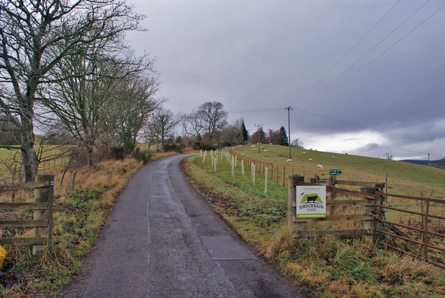
Image: © Richard Dorrell Taken: 22 Dec 2018
There will be a tree or hedging shrub planted inside each of the light green plastic tubes to the right of the road - so this is a view that will change considerably over the coming years.
Images are licensed for reuse under creativecommons.org/licenses/by-sa/2.0
Image Location


Leaflet Map data © OpenStreetMap
Latitude
57.596178
Longitude
-4.448151