Disused railway bridge near Drub
Introduction
The photograph on this page of Disused railway bridge near Drub by David Spencer as part of the Geograph project.
The Geograph project started in 2005 with the aim of publishing, organising and preserving representative images for every square kilometre of Great Britain, Ireland and the Isle of Man.

There are currently over 7.5m images from over 14,400 individuals and you can help contribute to the project by visiting https://www.geograph.org.uk
Disused railway bridge near Drub
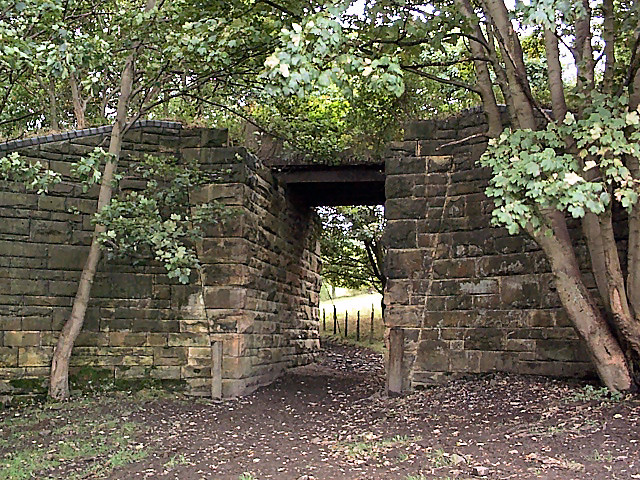
Image: © David Spencer Taken: 1 Oct 2005
On the former route of the L&NWR's Leeds New Line, opened in 1900 and closed in 1966, crossing a footpath from Drub near Lands Farm.
Images are licensed for reuse under creativecommons.org/licenses/by-sa/2.0
Image Location


Leaflet Map data © OpenStreetMap
Latitude
53.733167
Longitude
-1.703646