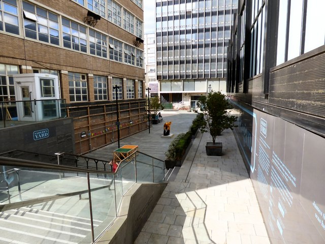
Sadler's Yard
Introduction
The photograph on this page of Sadler's Yard by Gerald England as part of the Geograph project.
The Geograph project started in 2005 with the aim of publishing, organising and preserving representative images for every square kilometre of Great Britain, Ireland and the Isle of Man.
There are currently over 7.5m images from over 14,400 individuals and you can help contribute to the project by visiting https://www.geograph.org.uk

Image: © Gerald England Taken: 5 Sep 2018
Sadler's Yard and the surrounding public realm is part of the North West's largest mixed-used regeneration scheme, set at the heart of the city's NOMA redevelopment. The project is a joint venture by Hermes Real Estate, Manchester City Council and The Co-operative Group. It is intended to be used for events and will be a focal point for pedestrians and patrons frequenting the many shops, cafes and restaurants, some within newly exposed basements of the Co-operative's listed buildings. The square was named after James Sadler, a balloonist, chemist and pastry chef who made the first manned balloon flight from Manchester in 1785, chosen following a social media campaign asking for suggestions from members of the public. The contractor works were undertaken by the Casey Group and funding came from the European Regional Development Fund. http://web.archive.org/web/20190812024337/https://www.hardscape.co.uk/project/sadlers-yard-noma-manchester/ Currently occupying space in the yard is one of the Bees in the City Image Image
Image Location


