Atlas Mill Road approaching Bridge Road junction
Introduction
The photograph on this page of Atlas Mill Road approaching Bridge Road junction by Roger Templeman as part of the Geograph project.
The Geograph project started in 2005 with the aim of publishing, organising and preserving representative images for every square kilometre of Great Britain, Ireland and the Isle of Man.

There are currently over 7.5m images from over 14,400 individuals and you can help contribute to the project by visiting https://www.geograph.org.uk
Atlas Mill Road approaching Bridge Road junction
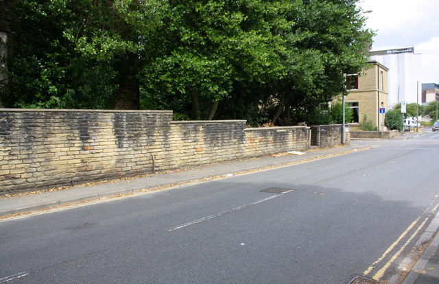
Image: © Roger Templeman Taken: 18 Jul 2018
There is an OS benchmark Image on the wall about 2m from the left hand edge of the image, above a stick propped against the wall.
Images are licensed for reuse under creativecommons.org/licenses/by-sa/2.0
Image Location
Latitude
53.70009
Longitude
-1.783367