Entrance to Upperby Cemetery
Introduction
The photograph on this page of Entrance to Upperby Cemetery by Rose and Trev Clough as part of the Geograph project.
The Geograph project started in 2005 with the aim of publishing, organising and preserving representative images for every square kilometre of Great Britain, Ireland and the Isle of Man.

There are currently over 7.5m images from over 14,400 individuals and you can help contribute to the project by visiting https://www.geograph.org.uk
Entrance to Upperby Cemetery
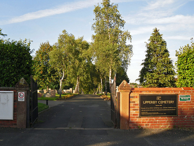
Image: © Rose and Trev Clough Taken: 7 Aug 2014
Vehicular access point in Manor Road. The cemetery is run by Carlisle City Council. It opened in 1881, the municipal cemetery being an extension to the parish cemetery. In the early 1930s the City Council of the day agreed to a request that Cemetery Road, Upperby be renamed Manor Road. Information from Carlisle Encyclopaedia http://www.carlisleshistory.co.uk/page23.htm .
Images are licensed for reuse under creativecommons.org/licenses/by-sa/2.0
Image Location


Leaflet Map data © OpenStreetMap
Latitude
54.875025
Longitude
-2.919895