Clarks Hospital
Introduction
The photograph on this page of Clarks Hospital by Philip Halling as part of the Geograph project.
The Geograph project started in 2005 with the aim of publishing, organising and preserving representative images for every square kilometre of Great Britain, Ireland and the Isle of Man.

There are currently over 7.5m images from over 14,400 individuals and you can help contribute to the project by visiting https://www.geograph.org.uk
Clarks Hospital
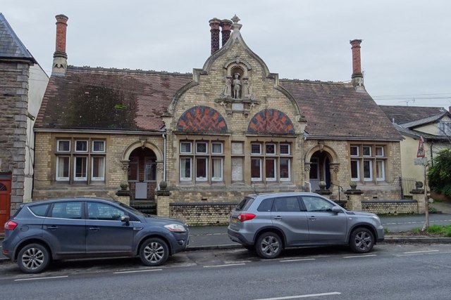
Image: © Philip Halling Taken: 10 Dec 2018
Clarks Hospital are almshouses dating from around 1735, it was foundation, rebuilt 1874. The almshouses are Grade II listed, see: https://historicengland.org.uk/listing/the-list/list-entry/1270334
Images are licensed for reuse under creativecommons.org/licenses/by-sa/2.0
Image Location
Latitude
52.226943
Longitude
-2.744124