Clyde walkway near Trotterbank
Introduction
The photograph on this page of Clyde walkway near Trotterbank by Alan O'Dowd as part of the Geograph project.
The Geograph project started in 2005 with the aim of publishing, organising and preserving representative images for every square kilometre of Great Britain, Ireland and the Isle of Man.

There are currently over 7.5m images from over 14,400 individuals and you can help contribute to the project by visiting https://www.geograph.org.uk
Clyde walkway near Trotterbank
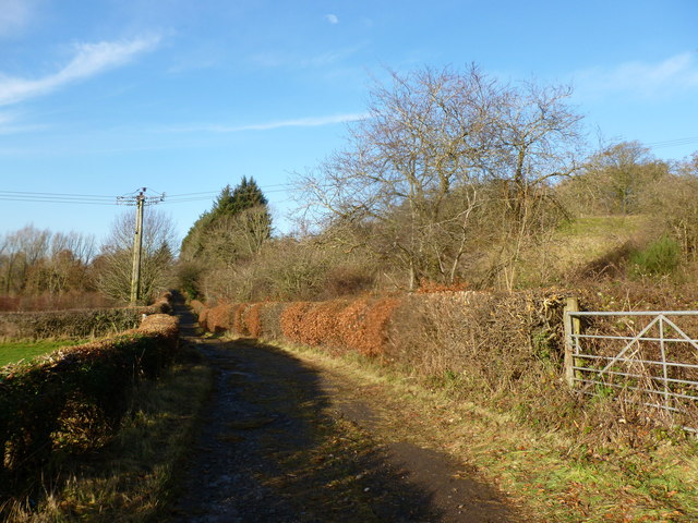
Image: © Alan O'Dowd Taken: 16 Dec 2018
This section of the Clyde Walkway follows a rough road giving access to farms and the estate of Cambusnethan House. There are old orchards on the right hand side of the road.
Images are licensed for reuse under creativecommons.org/licenses/by-sa/2.0
Image Location
Latitude
55.747586
Longitude
-3.927131