Five houses and five satellite dishes, Shingrig Road, Nelson
Introduction
The photograph on this page of Five houses and five satellite dishes, Shingrig Road, Nelson by Jaggery as part of the Geograph project.
The Geograph project started in 2005 with the aim of publishing, organising and preserving representative images for every square kilometre of Great Britain, Ireland and the Isle of Man.

There are currently over 7.5m images from over 14,400 individuals and you can help contribute to the project by visiting https://www.geograph.org.uk
Five houses and five satellite dishes, Shingrig Road, Nelson
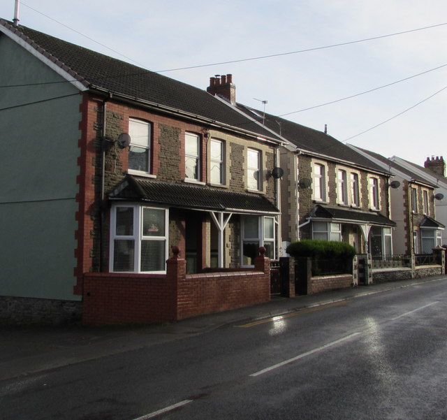
Image: © Jaggery Taken: 17 Dec 2018
Four semi-detached houses and a detached house viewed across the B4255 Shingrig Road.
Images are licensed for reuse under creativecommons.org/licenses/by-sa/2.0
Image Location
Latitude
51.653939
Longitude
-3.28603