Stream culverted beneath Westfield Road
Introduction
The photograph on this page of Stream culverted beneath Westfield Road by Trevor Littlewood as part of the Geograph project.
The Geograph project started in 2005 with the aim of publishing, organising and preserving representative images for every square kilometre of Great Britain, Ireland and the Isle of Man.

There are currently over 7.5m images from over 14,400 individuals and you can help contribute to the project by visiting https://www.geograph.org.uk
Stream culverted beneath Westfield Road
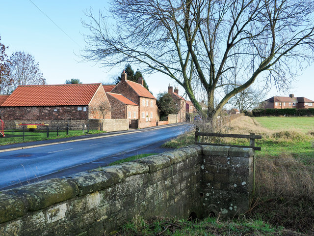
Image: © Trevor Littlewood Taken: 16 Dec 2018
Westfield Road, Tockwith, heading west with a minor stream, possibly Sike Beck, passing beneath.
Images are licensed for reuse under creativecommons.org/licenses/by-sa/2.0
Image Location
Latitude
53.964816
Longitude
-1.282502