Barns at King's Causeway Farm
Introduction
The photograph on this page of Barns at King's Causeway Farm by Trevor Littlewood as part of the Geograph project.
The Geograph project started in 2005 with the aim of publishing, organising and preserving representative images for every square kilometre of Great Britain, Ireland and the Isle of Man.

There are currently over 7.5m images from over 14,400 individuals and you can help contribute to the project by visiting https://www.geograph.org.uk
Barns at King's Causeway Farm
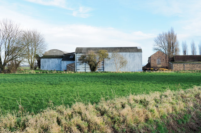
Image: © Trevor Littlewood Taken: 16 Dec 2018
The farm and its barns are on the north side of King's Causeway, the A161, as it leaves Swinefleet heading east-south-east.
Images are licensed for reuse under creativecommons.org/licenses/by-sa/2.0
Image Location
Latitude
53.688447
Longitude
-0.828375