Public footpath along fence/hedge line
Introduction
The photograph on this page of Public footpath along fence/hedge line by Trevor Littlewood as part of the Geograph project.
The Geograph project started in 2005 with the aim of publishing, organising and preserving representative images for every square kilometre of Great Britain, Ireland and the Isle of Man.

There are currently over 7.5m images from over 14,400 individuals and you can help contribute to the project by visiting https://www.geograph.org.uk
Public footpath along fence/hedge line
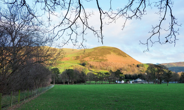
Image: © Trevor Littlewood Taken: 9 Dec 2018
The field path connects two roads in the scattered settlement of Low Lorton. The sunlit hill is Kirk Fell, part of Graystones.
Images are licensed for reuse under creativecommons.org/licenses/by-sa/2.0
Image Location
Latitude
54.621624
Longitude
-3.307403