St Mary's Cottage, St Mary's Place, Shrewsbury
Introduction
The photograph on this page of St Mary's Cottage, St Mary's Place, Shrewsbury by Richard Law as part of the Geograph project.
The Geograph project started in 2005 with the aim of publishing, organising and preserving representative images for every square kilometre of Great Britain, Ireland and the Isle of Man.

There are currently over 7.5m images from over 14,400 individuals and you can help contribute to the project by visiting https://www.geograph.org.uk
St Mary's Cottage, St Mary's Place, Shrewsbury
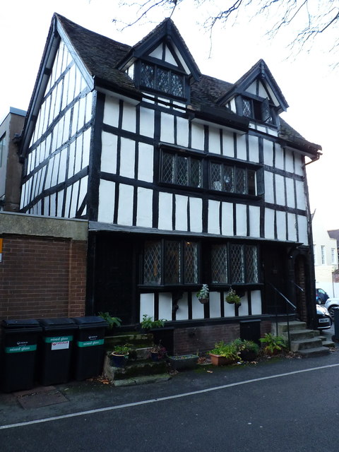
Image: © Richard Law Taken: 30 Nov 2018
A late 16th century shop and former vicarage, presumably to the adjacent Image, which was subsequently converted to 2 houses. Grade II listed https://britishlistedbuildings.co.uk/101270602-st-marys-cottage-shrewsbury#.XBZ_3dSLTGg in 1953.
Images are licensed for reuse under creativecommons.org/licenses/by-sa/2.0
Image Location
Latitude
52.708858
Longitude
-2.751707