Brixton: Church of St Matthew
Introduction
The photograph on this page of Brixton: Church of St Matthew by Nigel Cox as part of the Geograph project.
The Geograph project started in 2005 with the aim of publishing, organising and preserving representative images for every square kilometre of Great Britain, Ireland and the Isle of Man.

There are currently over 7.5m images from over 14,400 individuals and you can help contribute to the project by visiting https://www.geograph.org.uk
Brixton: Church of St Matthew
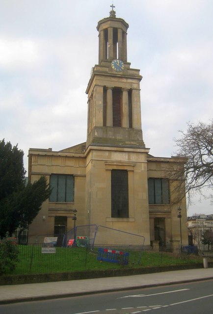
Image: © Nigel Cox Taken: 14 Dec 2018
The Church of St Matthew was built between 1822 and 1824 to the designs of C F Porden. It is a Grade II* Listed Building, and occupies a prominent location between Brixton Hill and Effra Road. This is the eastern façade and tower. From a Geograph point of view the 531000 Easting grid line cuts through the building and the western façade is in TQ3175.
Images are licensed for reuse under creativecommons.org/licenses/by-sa/2.0
Image Location
Latitude
51.459544
Longitude
-0.115634