7, Kings Avenue
Introduction
The photograph on this page of 7, Kings Avenue by John Baker as part of the Geograph project.
The Geograph project started in 2005 with the aim of publishing, organising and preserving representative images for every square kilometre of Great Britain, Ireland and the Isle of Man.

There are currently over 7.5m images from over 14,400 individuals and you can help contribute to the project by visiting https://www.geograph.org.uk
7, Kings Avenue
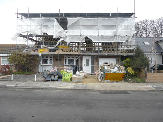
Image: © John Baker Taken: 25 Nov 2018
Planning permission has been granted by Thanet District Council under application number FH/TH/18/0113 for “alterations to roof to increase height and erection of dormer window to rear to facilitate loft conversion”.
Images are licensed for reuse under creativecommons.org/licenses/by-sa/2.0
Image Location
Latitude
51.364588
Longitude
1.439012