Reeth village
Introduction
The photograph on this page of Reeth village by Russel Wills as part of the Geograph project.
The Geograph project started in 2005 with the aim of publishing, organising and preserving representative images for every square kilometre of Great Britain, Ireland and the Isle of Man.

There are currently over 7.5m images from over 14,400 individuals and you can help contribute to the project by visiting https://www.geograph.org.uk
Reeth village
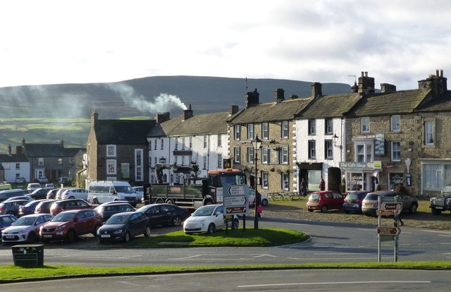
Image: © Russel Wills Taken: 10 Dec 2018
Reeth enjoys a magnificent setting on a plateau above the River Swale, surrounded by a great panorama of hills and moors. Today it is the main settlement in Swaledale.
Images are licensed for reuse under creativecommons.org/licenses/by-sa/2.0
Image Location
Latitude
54.389081
Longitude
-1.943297