Church of St Denys, west end
Introduction
The photograph on this page of Church of St Denys, west end by Alan Murray-Rust as part of the Geograph project.
The Geograph project started in 2005 with the aim of publishing, organising and preserving representative images for every square kilometre of Great Britain, Ireland and the Isle of Man.

There are currently over 7.5m images from over 14,400 individuals and you can help contribute to the project by visiting https://www.geograph.org.uk
Church of St Denys, west end
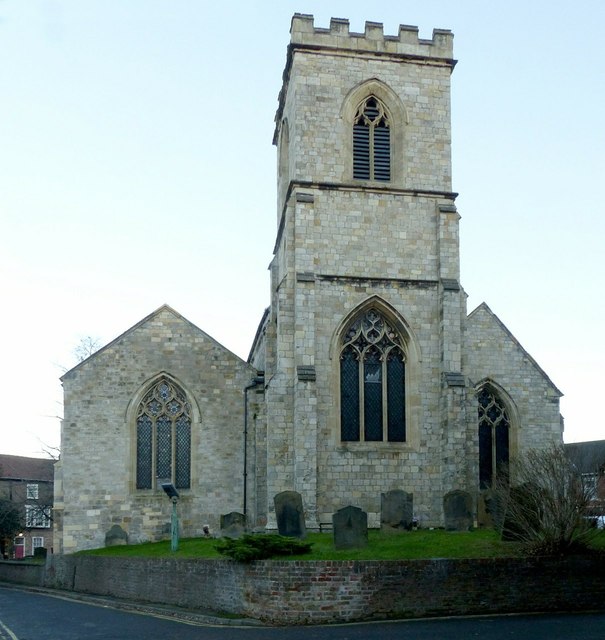
Image: © Alan Murray-Rust Taken: 9 Dec 2018
The west end represents a rebuilding of the 14th/15th century church in 1846-7. How far the tracery follows original patterns is unclear. Listed Grade I.
Images are licensed for reuse under creativecommons.org/licenses/by-sa/2.0
Image Location
Latitude
53.956579
Longitude
-1.076448