Listed railings
Introduction
The photograph on this page of Listed railings by Michael Dibb as part of the Geograph project.
The Geograph project started in 2005 with the aim of publishing, organising and preserving representative images for every square kilometre of Great Britain, Ireland and the Isle of Man.

There are currently over 7.5m images from over 14,400 individuals and you can help contribute to the project by visiting https://www.geograph.org.uk
Listed railings
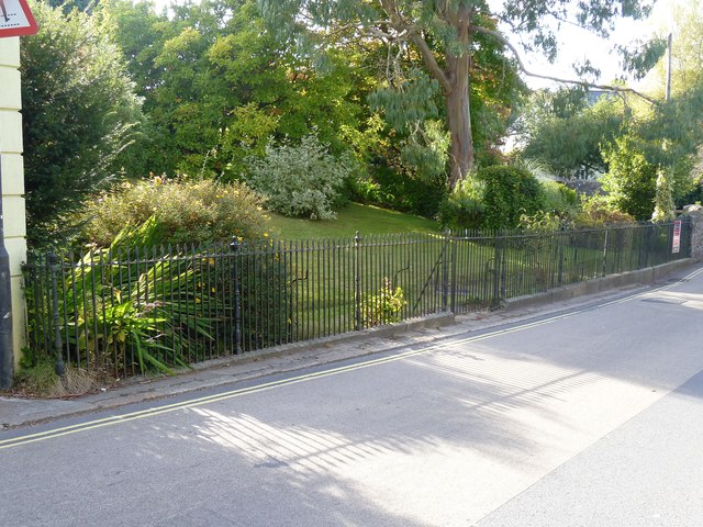
Image: © Michael Dibb Taken: 28 Sep 2018
These garden boundary railings to Forder Bungalow were originally the railings to a detached garden belonging to Forder House. Circa late 18th to early 19th century. Listed, grade II, with details at: https://historicengland.org.uk/listing/the-list/list-entry/1334220
Images are licensed for reuse under creativecommons.org/licenses/by-sa/2.0
Image Location
Latitude
50.661789
Longitude
-3.767249