Moretonhampstead houses [36]
Introduction
The photograph on this page of Moretonhampstead houses [36] by Michael Dibb as part of the Geograph project.
The Geograph project started in 2005 with the aim of publishing, organising and preserving representative images for every square kilometre of Great Britain, Ireland and the Isle of Man.

There are currently over 7.5m images from over 14,400 individuals and you can help contribute to the project by visiting https://www.geograph.org.uk
Moretonhampstead houses [36]
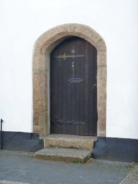
Image: © Michael Dibb Taken: 28 Sep 2018
Number 31 Ford Street was once part of a late 16th/early 17th century 3-room-and-through-passage plan with this fine granite chamfered 4-centred arch doorway (see also 6000157). Listed, grade II, with details at: https://historicengland.org.uk/listing/the-list/list-entry/1308435
Images are licensed for reuse under creativecommons.org/licenses/by-sa/2.0
Image Location
Latitude
50.661354
Longitude
-3.766242