Barn NE of Waters Upton Hall
Introduction
The photograph on this page of Barn NE of Waters Upton Hall by Richard Law as part of the Geograph project.
The Geograph project started in 2005 with the aim of publishing, organising and preserving representative images for every square kilometre of Great Britain, Ireland and the Isle of Man.

There are currently over 7.5m images from over 14,400 individuals and you can help contribute to the project by visiting https://www.geograph.org.uk
Barn NE of Waters Upton Hall
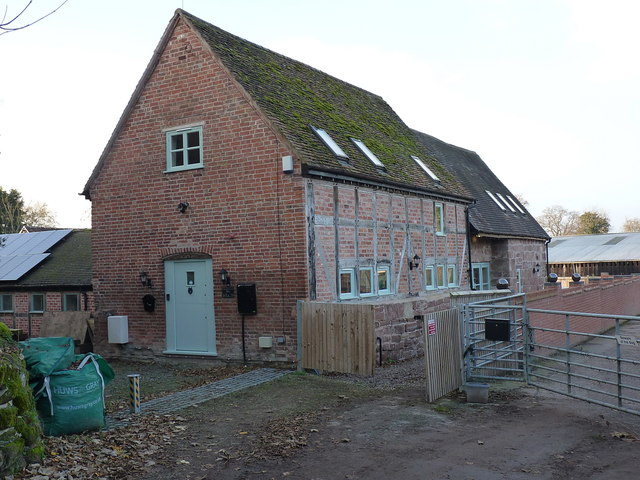
Image: © Richard Law Taken: 17 Nov 2018
Now known as Crescent Farm Barn, and converted to residential use, this fine timber-framed barn dates from the late 16th or early 17th century, and was Grade II listed https://britishlistedbuildings.co.uk/101033314-barn-immediately-north-east-of-the-hall-waters-upton#.XBGHStSLTGg in 1983.
Images are licensed for reuse under creativecommons.org/licenses/by-sa/2.0
Image Location
Latitude
52.772112
Longitude
-2.543944