Churchyard boundary wall, Waters Upton
Introduction
The photograph on this page of Churchyard boundary wall, Waters Upton by Richard Law as part of the Geograph project.
The Geograph project started in 2005 with the aim of publishing, organising and preserving representative images for every square kilometre of Great Britain, Ireland and the Isle of Man.

There are currently over 7.5m images from over 14,400 individuals and you can help contribute to the project by visiting https://www.geograph.org.uk
Churchyard boundary wall, Waters Upton
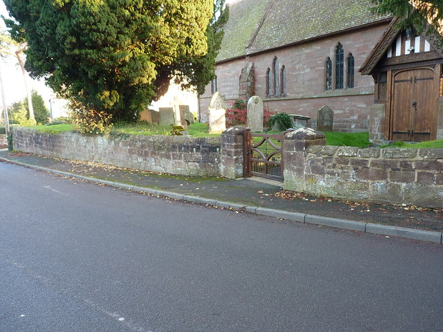
Image: © Richard Law Taken: 17 Nov 2018
This sandstone retaining wall, including the squat gatepiers, for the raised churchyard was probably built in the late 18th or early 19th century, and was Grade II listed https://britishlistedbuildings.co.uk/101352004-churchyard-boundary-wall-north-of-church-of-st-michael-waters-upton#.XBGDxdSLTGg in 1983.
Images are licensed for reuse under creativecommons.org/licenses/by-sa/2.0
Image Location
Latitude
52.771392
Longitude
-2.544083