The White House, Waters Upton
Introduction
The photograph on this page of The White House, Waters Upton by Richard Law as part of the Geograph project.
The Geograph project started in 2005 with the aim of publishing, organising and preserving representative images for every square kilometre of Great Britain, Ireland and the Isle of Man.

There are currently over 7.5m images from over 14,400 individuals and you can help contribute to the project by visiting https://www.geograph.org.uk
The White House, Waters Upton
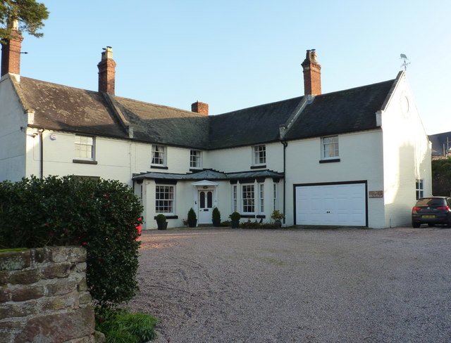
Image: © Richard Law Taken: 17 Nov 2018
The reason for the name is obvious enough. This is a late 18th century country house, with an additional 19th century wing added, which was Grade II listed https://britishlistedbuildings.co.uk/101033311-white-house-waters-upton#.XBF_tNSLTGg in 1983. The garage unit on the near end is much more modern, and probably exempt from the listing.
Images are licensed for reuse under creativecommons.org/licenses/by-sa/2.0
Image Location
Latitude
52.771305
Longitude
-2.543489