Riverside path downstream from the stepping stones
Introduction
The photograph on this page of Riverside path downstream from the stepping stones by Gordon Hatton as part of the Geograph project.
The Geograph project started in 2005 with the aim of publishing, organising and preserving representative images for every square kilometre of Great Britain, Ireland and the Isle of Man.

There are currently over 7.5m images from over 14,400 individuals and you can help contribute to the project by visiting https://www.geograph.org.uk
Riverside path downstream from the stepping stones
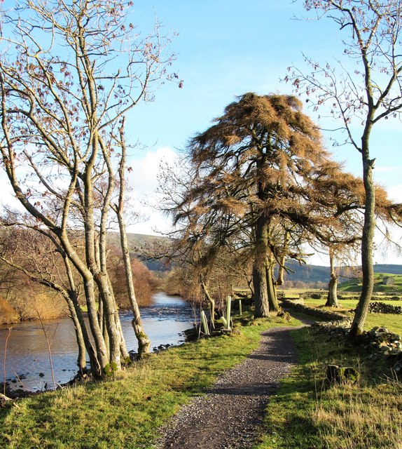
Image: © Gordon Hatton Taken: 10 Dec 2018
The bridleway here has been surfaced to provide a better route for cyclists using the 'Swale Trail', which officially opened in April 2018. The larch tree is unusual, but adds variety to the usual alder and ash along the path.
Images are licensed for reuse under creativecommons.org/licenses/by-sa/2.0
Image Location
Latitude
54.384327
Longitude
-1.967016