Arable land at Mill Cottage
Introduction
The photograph on this page of Arable land at Mill Cottage by Graham Robson as part of the Geograph project.
The Geograph project started in 2005 with the aim of publishing, organising and preserving representative images for every square kilometre of Great Britain, Ireland and the Isle of Man.

There are currently over 7.5m images from over 14,400 individuals and you can help contribute to the project by visiting https://www.geograph.org.uk
Arable land at Mill Cottage
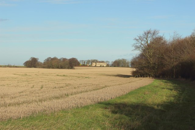
Image: © Graham Robson Taken: 8 Dec 2018
An expansive arable field across the road from Mill Cottage. In the distance the front of Shortridge Hall can be seen. The field has not yet been cultivated following harvest of a cereal crop in the early autumn.
Images are licensed for reuse under creativecommons.org/licenses/by-sa/2.0
Image Location


Leaflet Map data © OpenStreetMap
Latitude
55.355183
Longitude
-1.625547