Ystrad Mynach boundary sign facing Hengoed
Introduction
The photograph on this page of Ystrad Mynach boundary sign facing Hengoed by Jaggery as part of the Geograph project.
The Geograph project started in 2005 with the aim of publishing, organising and preserving representative images for every square kilometre of Great Britain, Ireland and the Isle of Man.

There are currently over 7.5m images from over 14,400 individuals and you can help contribute to the project by visiting https://www.geograph.org.uk
Ystrad Mynach boundary sign facing Hengoed
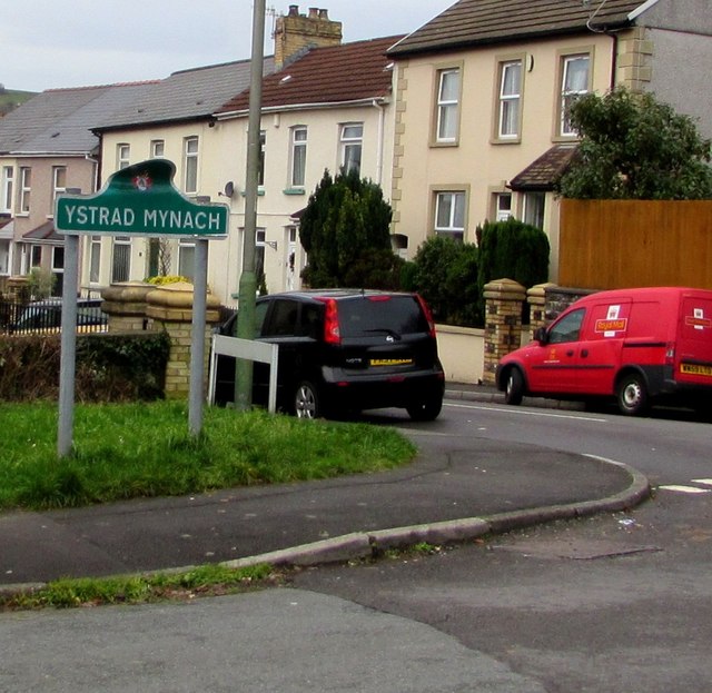
Image: © Jaggery Taken: 10 Dec 2018
On the corner of Davies Street and Bedwlwyn Road at the northern edge of Ystrad Mynach. In December 2018 the top of the sign is distorted. The Hengoed boundary sign https://www.geograph.org.uk/photo/5997282 is near the camera.
Images are licensed for reuse under creativecommons.org/licenses/by-sa/2.0
Image Location
Latitude
51.643811
Longitude
-3.232702