The road towards the A442
Introduction
The photograph on this page of The road towards the A442 by Richard Law as part of the Geograph project.
The Geograph project started in 2005 with the aim of publishing, organising and preserving representative images for every square kilometre of Great Britain, Ireland and the Isle of Man.

There are currently over 7.5m images from over 14,400 individuals and you can help contribute to the project by visiting https://www.geograph.org.uk
The road towards the A442
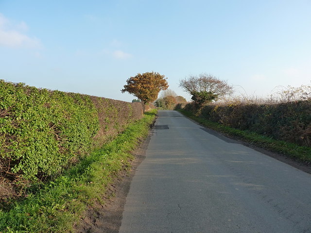
Image: © Richard Law Taken: 17 Nov 2018
Heading essentially east-southeast past Red House Farm and Hilbrae kennels/rescue centre, to join the A442 near Cold Hatton.
Images are licensed for reuse under creativecommons.org/licenses/by-sa/2.0
Image Location
Latitude
52.79431
Longitude
-2.564539