Trews Weir on River Exe
Introduction
The photograph on this page of Trews Weir on River Exe by David Smith as part of the Geograph project.
The Geograph project started in 2005 with the aim of publishing, organising and preserving representative images for every square kilometre of Great Britain, Ireland and the Isle of Man.

There are currently over 7.5m images from over 14,400 individuals and you can help contribute to the project by visiting https://www.geograph.org.uk
Trews Weir on River Exe
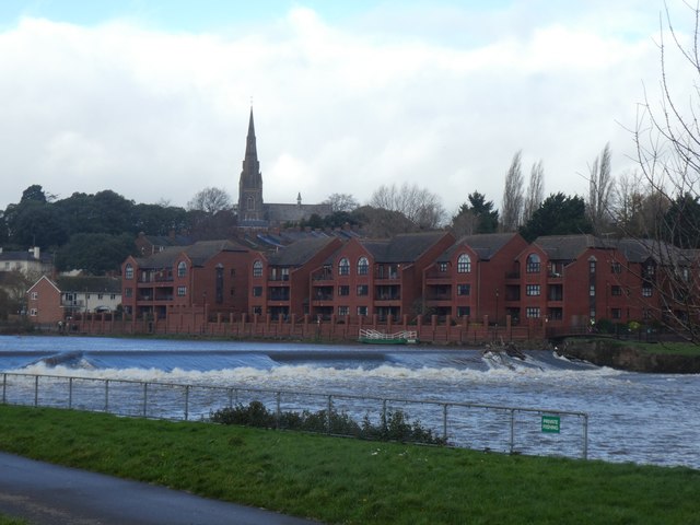
Image: © David Smith Taken: 3 Dec 2018
A similar view to that in Image; the river is higher with flood water and the small boat at the bank is the Butts Ferry seen in Image which had come adrift and floated onto the weir
Images are licensed for reuse under creativecommons.org/licenses/by-sa/2.0
Image Location
Latitude
50.714586
Longitude
-3.524885