22, Ospringe Street
Introduction
The photograph on this page of 22, Ospringe Street by John Baker as part of the Geograph project.
The Geograph project started in 2005 with the aim of publishing, organising and preserving representative images for every square kilometre of Great Britain, Ireland and the Isle of Man.

There are currently over 7.5m images from over 14,400 individuals and you can help contribute to the project by visiting https://www.geograph.org.uk
22, Ospringe Street
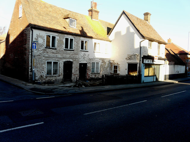
Image: © John Baker Taken: 18 Nov 2018
The house is attached to Image, a grade II, former butcher’s shop, which is included in the planning permission, which was granted by Swale Borough Council under application number 16/505706/FULL for the “demolition of outbuildings and erection of 6 new dwellings and conversion of existing stable building/cold store into a residential dwelling, as amended by drawings received 1 November 2016”.
Images are licensed for reuse under creativecommons.org/licenses/by-sa/2.0
Image Location
Latitude
51.31167
Longitude
0.873032