Nutfield Road houses
Introduction
The photograph on this page of Nutfield Road houses by Roger Templeman as part of the Geograph project.
The Geograph project started in 2005 with the aim of publishing, organising and preserving representative images for every square kilometre of Great Britain, Ireland and the Isle of Man.

There are currently over 7.5m images from over 14,400 individuals and you can help contribute to the project by visiting https://www.geograph.org.uk
Nutfield Road houses
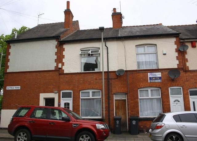
Image: © Roger Templeman Taken: 11 May 2018
There is an OS benchmark Image on the wall of #53 left of brown gate and wheelie bin
Images are licensed for reuse under creativecommons.org/licenses/by-sa/2.0
Image Location


Leaflet Map data © OpenStreetMap
Latitude
52.623937
Longitude
-1.159107