Pinbrook House
Introduction
The photograph on this page of Pinbrook House by Rod Allday as part of the Geograph project.
The Geograph project started in 2005 with the aim of publishing, organising and preserving representative images for every square kilometre of Great Britain, Ireland and the Isle of Man.

There are currently over 7.5m images from over 14,400 individuals and you can help contribute to the project by visiting https://www.geograph.org.uk
Pinbrook House
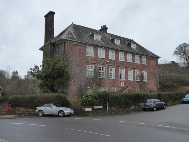
Image: © Rod Allday Taken: 6 Dec 2018
A very impressive building, said to have been the Manor House. A plaque on the front bears the date 1679. Grade II* Listed https://britishlistedbuildings.co.uk/101104086-pinbrook-house-exeter#.XAvwTXT7SM8.
Images are licensed for reuse under creativecommons.org/licenses/by-sa/2.0
Image Location
Latitude
50.741078
Longitude
-3.486061