Sheep and cattle near Tyn-y-celyn
Introduction
The photograph on this page of Sheep and cattle near Tyn-y-celyn by Penny Mayes as part of the Geograph project.
The Geograph project started in 2005 with the aim of publishing, organising and preserving representative images for every square kilometre of Great Britain, Ireland and the Isle of Man.

There are currently over 7.5m images from over 14,400 individuals and you can help contribute to the project by visiting https://www.geograph.org.uk
Sheep and cattle near Tyn-y-celyn
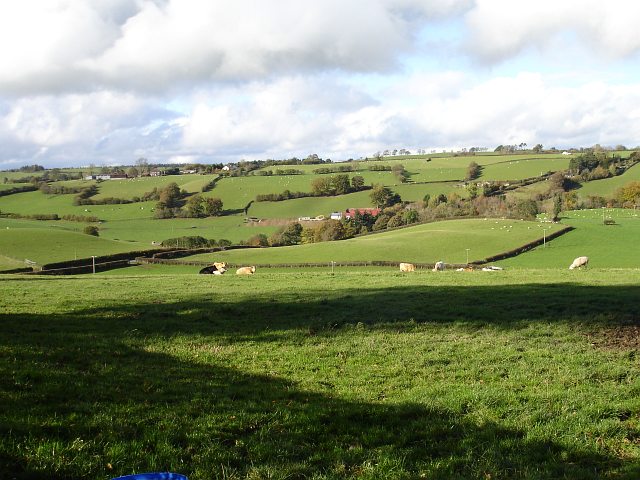
Image: © Penny Mayes Taken: 28 Oct 2007
Sheep and cattle share this pasture. The road from New Mills to Llanfair Caereinion runs diagonally across the image and more or less follows the western edge of the square. The red roofed barn is at Wtra Wen (White Lane) and lies in the adjacent square.
Images are licensed for reuse under creativecommons.org/licenses/by-sa/2.0
Image Location
Latitude
52.621801
Longitude
-3.328844