Auldhouse Burn
Introduction
The photograph on this page of Auldhouse Burn by Richard Sutcliffe as part of the Geograph project.
The Geograph project started in 2005 with the aim of publishing, organising and preserving representative images for every square kilometre of Great Britain, Ireland and the Isle of Man.

There are currently over 7.5m images from over 14,400 individuals and you can help contribute to the project by visiting https://www.geograph.org.uk
Auldhouse Burn
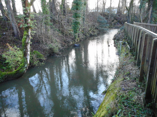
Image: © Richard Sutcliffe Taken: 4 Dec 2018
Here the Auldhouse Burn follows a man-made lade, which was part of a series of features which provided water to power the nearby former Thornliebank Calico Printing Works, and Newfield and Thornliebank cotton mills. The lade stands several metres above what used to be a reservoir just to the west [http://www.geograph.org.uk/photo/5994530].
Images are licensed for reuse under creativecommons.org/licenses/by-sa/2.0
Image Location
Latitude
55.798846
Longitude
-4.320394