The River Dour, Dover
Introduction
The photograph on this page of The River Dour, Dover by pam fray as part of the Geograph project.
The Geograph project started in 2005 with the aim of publishing, organising and preserving representative images for every square kilometre of Great Britain, Ireland and the Isle of Man.

There are currently over 7.5m images from over 14,400 individuals and you can help contribute to the project by visiting https://www.geograph.org.uk
The River Dour, Dover
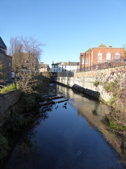
Image: © pam fray Taken: 4 Dec 2018
Looking towards Park Street bridge. Under the bridge the old river bridge can still be seen. On the far side of the road is The Park Inn.
Images are licensed for reuse under creativecommons.org/licenses/by-sa/2.0
Image Location
Latitude
51.128606
Longitude
1.309361