The west end of Holy Trinity church, Gwernaffield
Introduction
The photograph on this page of The west end of Holy Trinity church, Gwernaffield by John S Turner as part of the Geograph project.
The Geograph project started in 2005 with the aim of publishing, organising and preserving representative images for every square kilometre of Great Britain, Ireland and the Isle of Man.

There are currently over 7.5m images from over 14,400 individuals and you can help contribute to the project by visiting https://www.geograph.org.uk
The west end of Holy Trinity church, Gwernaffield
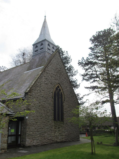
Image: © John S Turner Taken: 2 May 2012
Looking across the west end of Holy Trinity Church in Wales, Gwernaffield. There is an Ordnance Survey bench mark below the windows - Image
Images are licensed for reuse under creativecommons.org/licenses/by-sa/2.0
Image Location
Latitude
53.171406
Longitude
-3.188232