Footbridge over the River Dour, Dover
Introduction
The photograph on this page of Footbridge over the River Dour, Dover by pam fray as part of the Geograph project.
The Geograph project started in 2005 with the aim of publishing, organising and preserving representative images for every square kilometre of Great Britain, Ireland and the Isle of Man.

There are currently over 7.5m images from over 14,400 individuals and you can help contribute to the project by visiting https://www.geograph.org.uk
Footbridge over the River Dour, Dover
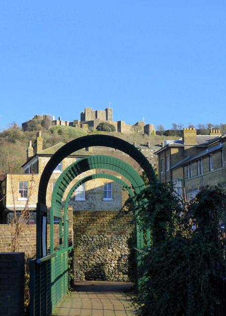
Image: © pam fray Taken: 4 Dec 2018
The river runs between Wellington Dock and the village of Temple Ewell. At this stage it runs along the side of Pencester Gardens. Dover Castle is in the distance
Images are licensed for reuse under creativecommons.org/licenses/by-sa/2.0
Image Location
Latitude
51.127016
Longitude
1.314679