Directions sign at the eastern end of Ystrad Mynach Bridge
Introduction
The photograph on this page of Directions sign at the eastern end of Ystrad Mynach Bridge by Jaggery as part of the Geograph project.
The Geograph project started in 2005 with the aim of publishing, organising and preserving representative images for every square kilometre of Great Britain, Ireland and the Isle of Man.

There are currently over 7.5m images from over 14,400 individuals and you can help contribute to the project by visiting https://www.geograph.org.uk
Directions sign at the eastern end of Ystrad Mynach Bridge
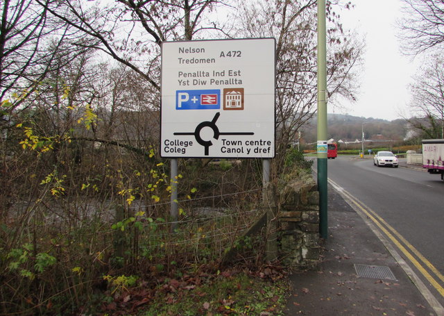
Image: © Jaggery Taken: 4 Dec 2018
At the eastern end of this https://www.geograph.org.uk/photo/5993536 bridge carrying the A472 over the Rhymney River in southeast Ystrad Mynach.
Images are licensed for reuse under creativecommons.org/licenses/by-sa/2.0
Image Location
Latitude
51.637948
Longitude
-3.234422