Track serving as Queensbury FP32
Introduction
The photograph on this page of Track serving as Queensbury FP32 by Humphrey Bolton as part of the Geograph project.
The Geograph project started in 2005 with the aim of publishing, organising and preserving representative images for every square kilometre of Great Britain, Ireland and the Isle of Man.

There are currently over 7.5m images from over 14,400 individuals and you can help contribute to the project by visiting https://www.geograph.org.uk
Track serving as Queensbury FP32
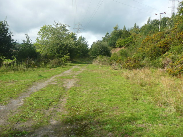
Image: © Humphrey Bolton Taken: 13 Sep 2018
According to the map the footpath slants up the hillside and back down, but that route is overgrown so this track is an alternative, except that the way is blocked by a stream further on.
Images are licensed for reuse under creativecommons.org/licenses/by-sa/2.0
Image Location


Leaflet Map data © OpenStreetMap
Latitude
53.764752
Longitude
-1.87193