English Baptist Mission, Central Street, Ystrad Mynach
Introduction
The photograph on this page of English Baptist Mission, Central Street, Ystrad Mynach by Jaggery as part of the Geograph project.
The Geograph project started in 2005 with the aim of publishing, organising and preserving representative images for every square kilometre of Great Britain, Ireland and the Isle of Man.

There are currently over 7.5m images from over 14,400 individuals and you can help contribute to the project by visiting https://www.geograph.org.uk
English Baptist Mission, Central Street, Ystrad Mynach
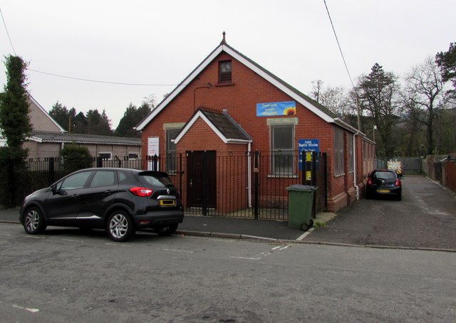
Image: © Jaggery Taken: 4 Dec 2018
The English part of the name indicates the language of worship, to distinguish it from churches and chapels where Welsh is/was the main language used. https://www.geograph.org.uk/photo/5993400 to the information board.
Images are licensed for reuse under creativecommons.org/licenses/by-sa/2.0
Image Location
Latitude
51.640348
Longitude
-3.237088