The edge of Linden Village
Introduction
The photograph on this page of The edge of Linden Village by Bill Boaden as part of the Geograph project.
The Geograph project started in 2005 with the aim of publishing, organising and preserving representative images for every square kilometre of Great Britain, Ireland and the Isle of Man.

There are currently over 7.5m images from over 14,400 individuals and you can help contribute to the project by visiting https://www.geograph.org.uk
The edge of Linden Village
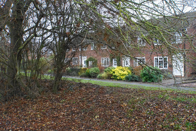
Image: © Bill Boaden Taken: 24 Nov 2018
One of the housing estates in Buckingham. These houses are facing the bank of the Great Ouse.
Images are licensed for reuse under creativecommons.org/licenses/by-sa/2.0
Image Location
Latitude
52.000267
Longitude
-0.976958