John Muir Way
Introduction
The photograph on this page of John Muir Way by Jonathan Thacker as part of the Geograph project.
The Geograph project started in 2005 with the aim of publishing, organising and preserving representative images for every square kilometre of Great Britain, Ireland and the Isle of Man.

There are currently over 7.5m images from over 14,400 individuals and you can help contribute to the project by visiting https://www.geograph.org.uk
John Muir Way
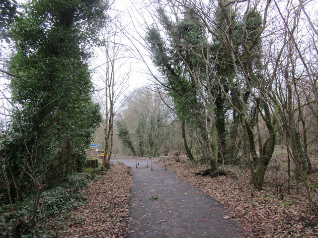
Image: © Jonathan Thacker Taken: 22 Nov 2018
Follows the course of the former railway to Aberfoyle. The line here was opened in 1848 and closed to passengers in 1951. Goods services ceased in 1966.
Images are licensed for reuse under creativecommons.org/licenses/by-sa/2.0
Image Location
Latitude
55.96918
Longitude
-4.196773