Site of Portland Wharf
Introduction
The photograph on this page of Site of Portland Wharf by Alan Murray-Rust as part of the Geograph project.
The Geograph project started in 2005 with the aim of publishing, organising and preserving representative images for every square kilometre of Great Britain, Ireland and the Isle of Man.

There are currently over 7.5m images from over 14,400 individuals and you can help contribute to the project by visiting https://www.geograph.org.uk
Site of Portland Wharf
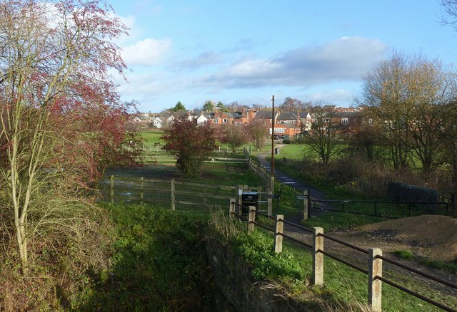
Image: © Alan Murray-Rust Taken: 30 Nov 2018
Originally a large basin on the Cromford Canal acting as a transshipment point for coal brought down on tramroads from the Portland and associated collieries in the Selston area. It stretched as far as the houses of Jacksdale in the background. The footpath provides access from Jacksdale to the footpaths along the canal and to the Erewash Meadows Nature Reserve, but was originally a means of access to employment at the Codnor Park Ironworks.
Images are licensed for reuse under creativecommons.org/licenses/by-sa/2.0
Image Location
Latitude
53.05828
Longitude
-1.338232